 vesseltracker.com
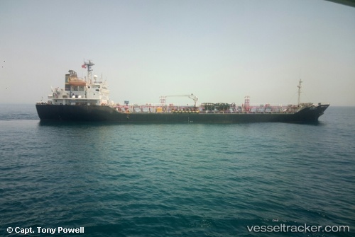
 MARIYA
Current Status
Where is the vessel?
MARIYA is currently in 12 nm NW of Bonny, based on AIS data received about 1h ago.
Latest AIS update:
Current position: 4.55520° N, 6.99977° E (12 nm NW of Bonny)
Average speed (last 7 days): Loading…
Average speed (last 30 days): Loading…
Vessel profile: MARIYA is a Oil/Chemical Tanker with dimensions m x m.
This page combines live AIS, route history, probable destination signals, nearby traffic, and port activity for practical vessel monitoring.
The current position of vessel MARIYA is 4.55520 lat / 6.99977 lng. Updated: 2026-04-13 15:24:18 UTCNearest reference points:
- Near Bonny
- Near Onne
- Near Port Harcourt
Currently sailing under the flag of Nigeria ![]()
Details:
Live Vessel MARIYA Analytics (details, animations, etc.)
Recent AIS points (UTC):
2026-04-13 09:54:39 UTC · 4.55516, 6.99969 · SOG 0 kn · COG 353°2026-04-13 11:47:18 UTC · 4.55519, 6.99975 · SOG 0.1 kn · COG 352°
2026-04-13 14:26:19 UTC · 4.55522, 6.99972 · SOG 0 kn · COG 350°
2026-04-13 15:24:18 UTC · 4.55520, 6.99977 · SOG 0 kn · COG 349°