 vesseltracker.com
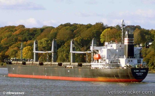
 LUMOSO PERMAI
Current Status
Where is the vessel?
LUMOSO PERMAI is currently in 19 nm NW of Kiamari, based on AIS data received about 12d ago.
Latest AIS update:
Current position: 25.03266° N, 66.70855° E (19 nm NW of Kiamari)
Average speed (last 7 days): Loading…
Average speed (last 30 days): Loading…
Vessel profile: LUMOSO PERMAI is a Bulk Carrier with dimensions m x m.
This page combines live AIS, route history, probable destination signals, nearby traffic, and port activity for practical vessel monitoring.
The current position of vessel LUMOSO PERMAI is 25.03266 lat / 66.70855 lng. Updated: 2026-03-17 18:34:33 UTCNearest reference points:
- Near Kiamari
- 16 nm S of Kiamari
- Near PORT QASIM
Currently sailing under the flag of Saint Kitts and Nevis ![]()
Details:
Live Vessel LUMOSO PERMAI Analytics (details, animations, etc.)
Recent AIS points (UTC):
2026-03-17 18:34:33 UTC · 25.03266, 66.70855 · SOG 0.2 kn · COG -1°