 vesseltracker.com
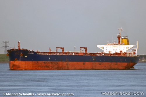
Armada Tgt1
Current StatusWhere is the vessel?
Armada Tgt1 is currently in Near Bach Ho, based on AIS data received about 1h ago.
Latest AIS update:
Current position: 9.97333° N, 107.96833° E (Near Bach Ho)
Average speed (last 7 days): Loading…
Average speed (last 30 days): Loading…
Vessel profile: Armada Tgt1 is a Offshore Processing Ship with dimensions 48m x 322m.
This page combines live AIS, route history, probable destination signals, nearby traffic, and port activity for practical vessel monitoring.
The current position of vessel Armada Tgt1 is 9.97333 lat / 107.96833 lng. Updated: 2026-04-02 09:04:09 UTCNearest reference points:
- 30 nm NW of Bach Ho
- Near Rang Dong
- 15 nm SE of Bà Ria
Details:
Live Vessel Armada Tgt1 Analytics (details, animations, etc.)
Recent AIS points (UTC):
2026-04-02 03:07:12 UTC · 9.97166, 107.96833 · SOG 0 kn · COG -1°2026-04-02 05:34:09 UTC · 9.97166, 107.96833 · SOG 0 kn · COG -1°
2026-04-02 07:28:09 UTC · 9.97166, 107.96833 · SOG 0 kn · COG -1°
2026-04-02 09:04:09 UTC · 9.97333, 107.96833 · SOG 0 kn · COG -1°