 vesseltracker.com
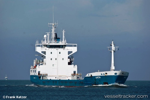
 HOHEWIND
Current Status
Where is the vessel?
HOHEWIND is currently in 72 nm SE of Tavernier, based on AIS data received about 1h ago.
Latest AIS update:
Current position: 24.48167° N, 79.31667° W (72 nm SE of Tavernier)
Average speed (last 7 days): Loading…
Average speed (last 30 days): Loading…
Vessel profile: HOHEWIND is a Cargo with dimensions m x m.
This page combines live AIS, route history, probable destination signals, nearby traffic, and port activity for practical vessel monitoring.
The current position of vessel HOHEWIND is 24.48167 lat / -79.31667 lng. Updated: 2026-04-08 08:08:13 UTCNearest reference points:
- 44 nm E of Surfside
- 14 nm SE of Florida City
- 13 nm SE of Florida City
Currently sailing under the flag of Antigua and Barbuda ![]()
Details:
Live Vessel HOHEWIND Analytics (details, animations, etc.)
Recent AIS points (UTC):
2026-04-08 02:18:56 UTC · 25.60047, -79.46437 · SOG 11.4 kn · COG 140°2026-04-08 03:39:32 UTC · 25.38689, -79.33548 · SOG 11.5 kn · COG 178°
2026-04-08 05:23:10 UTC · 25.05667, -79.32333 · SOG 11 kn · COG -1°
2026-04-08 08:08:13 UTC · 24.48167, -79.31667 · SOG 12 kn · COG -1°