 vesseltracker.com
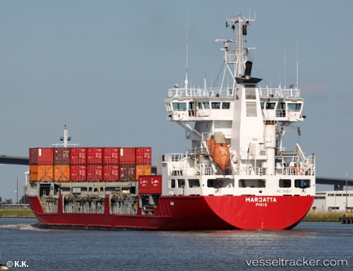
 Marjatta
Current Status
Where is the vessel?
Marjatta is currently in 33 nm NW of Eckerö, based on AIS data received about 1h ago.
Latest AIS update:
Current position: 60.69417° N, 19.07817° E (33 nm NW of Eckerö)
Average speed (last 7 days): Loading…
Average speed (last 30 days): Loading…
Vessel profile: Marjatta is a Multi Purpose Carrier with dimensions 120m x 18m.
This page combines live AIS, route history, probable destination signals, nearby traffic, and port activity for practical vessel monitoring.
The current position of vessel Marjatta is 60.69417 lat / 19.07817 lng. Updated: 2026-03-29 13:22:15 UTCNearest reference points:
- Near Östhammar
- Near Hallstavik
- Near GRADDO
Currently sailing under the flag of Finland ![]()
Marjatta built in 1996 year
Deadweight:
6410 tDetails:
Live Vessel Marjatta Analytics (details, animations, etc.)
Recent AIS points (UTC):
2026-03-29 07:57:28 UTC · 62.01433, 19.75083 · SOG 15.3 kn · COG 195°2026-03-29 10:00:53 UTC · 61.51300, 19.47767 · SOG 15.1 kn · COG 194°
2026-03-29 11:46:18 UTC · 61.08433, 19.27167 · SOG 15.1 kn · COG 194°
2026-03-29 13:22:15 UTC · 60.69417, 19.07817 · SOG 14.4 kn · COG 193°