 vesseltracker.com
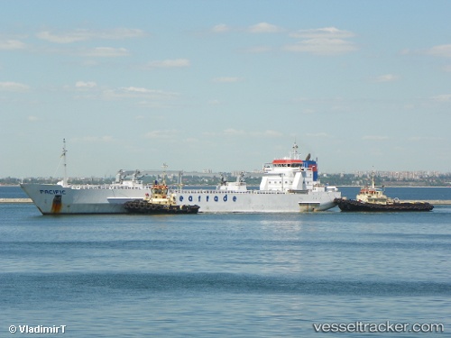
 SIERRA QUEEN
Current Status
Where is the vessel?
SIERRA QUEEN is currently in Near SOCOPE, based on AIS data received about 1h ago.
Latest AIS update:
Current position: 5.86013° S, 13.43154° E (Near SOCOPE)
Average speed (last 7 days): Loading…
Average speed (last 30 days): Loading…
Vessel profile: SIERRA QUEEN is a Reefer with dimensions m x m.
This page combines live AIS, route history, probable destination signals, nearby traffic, and port activity for practical vessel monitoring.
The current position of vessel SIERRA QUEEN is -5.86013 lat / 13.43154 lng. Updated: 2026-04-01 13:24:27 UTCNearest reference points:
- Near SOYO
- Near Futila Terminal
- 11 nm W of Cabinda
Currently sailing under the flag of Bahamas ![]()
Details:
Live Vessel SIERRA QUEEN Analytics (details, animations, etc.)
Recent AIS points (UTC):
2026-04-01 07:48:24 UTC · -5.86010, 13.43154 · SOG 0.1 kn · COG 16°2026-04-01 09:18:24 UTC · -5.86009, 13.43153 · SOG 0.1 kn · COG 16°
2026-04-01 11:24:25 UTC · -5.86010, 13.43154 · SOG 0 kn · COG 16°
2026-04-01 13:24:27 UTC · -5.86013, 13.43154 · SOG 0 kn · COG 16°