 vesseltracker.com
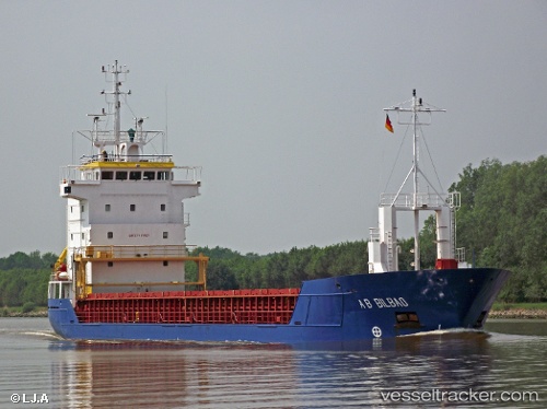
 KAJA
KAJA
Current Status
Where is the vessel?
KAJA is currently in 15 nm SW of Molengat, based on AIS data received less than 1h ago.
Latest AIS update:
Current position: 52.92045° N, 4.29687° E (15 nm SW of Molengat)
Average speed (last 7 days): Loading…
Average speed (last 30 days): Loading…
Vessel profile: KAJA is a General Cargo with dimensions m x m.
This page combines live AIS, route history, probable destination signals, nearby traffic, and port activity for practical vessel monitoring.
The current position of vessel KAJA is 52.92045 lat / 4.29687 lng. Updated: 2026-03-29 23:49:58 UTCNearest reference points:
- 22 nm W of Schoorl
- Near Ijmuiden
- Near Den Helder
Currently sailing under the flag of Antigua and Barbuda ![]()
Details:
Live Vessel KAJA Analytics (details, animations, etc.)
Recent AIS points (UTC):
2026-03-29 18:23:20 UTC · 52.25907, 3.49932 · SOG 8.2 kn · COG 19°2026-03-29 20:11:37 UTC · 52.49025, 3.69104 · SOG 8.4 kn · COG 45°
2026-03-29 21:37:34 UTC · 52.65091, 3.94249 · SOG 8.7 kn · COG 43°
2026-03-29 23:49:58 UTC · 52.92045, 4.29687 · SOG 10.2 kn · COG 28°