 vesseltracker.com
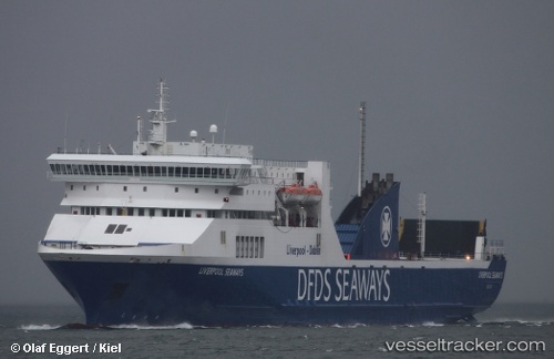
 PELAGOS
Current Status
Where is the vessel?
PELAGOS is currently in Near DUBA, based on AIS data received about 13h ago.
Latest AIS update:
Current position: 27.45905° N, 35.44151° E (Near DUBA)
Average speed (last 7 days): Loading…
Average speed (last 30 days): Loading…
Vessel profile: PELAGOS is a Ro-Ro/Passenger Ship with dimensions m x m.
This page combines live AIS, route history, probable destination signals, nearby traffic, and port activity for practical vessel monitoring.
The current position of vessel PELAGOS is 27.45905 lat / 35.44151 lng. Updated: 2026-04-10 07:15:00 UTCNearest reference points:
- Near DUBA
- Near Al Khuraibah
- 15 nm SW of Al Khuraibah
Currently sailing under the flag of Cyprus ![]()
Details:
Live Vessel PELAGOS Analytics (details, animations, etc.)
Recent AIS points (UTC):
2026-04-10 02:11:00 UTC · 27.56145, 35.54668 · SOG 0 kn · COG 269°2026-04-10 04:02:59 UTC · 27.56146, 35.54669 · SOG 0 kn · COG 271°
2026-04-10 05:35:19 UTC · 27.56147, 35.54668 · SOG 0 kn · COG 270°
2026-04-10 07:15:00 UTC · 27.45905, 35.44151 · SOG 13.7 kn · COG 240°