 vesseltracker.com
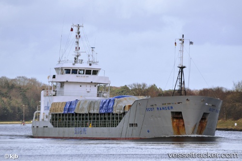
 SKY RANGER
Current Status
Where is the vessel?
SKY RANGER is currently in Near Sulina (Port et Zone Franche), based on AIS data received about 12h ago.
Latest AIS update:
Current position: 45.15750° N, 29.82707° E (Near Sulina (Port et Zone Franche))
Average speed (last 7 days): Loading…
Average speed (last 30 days): Loading…
Vessel profile: SKY RANGER is a General Cargo with dimensions m x m.
This page combines live AIS, route history, probable destination signals, nearby traffic, and port activity for practical vessel monitoring.
The current position of vessel SKY RANGER is 45.15750 lat / 29.82707 lng. Updated: 2026-04-05 19:18:06 UTCNearest reference points:
- 12 nm SE of Sulina (Port et Zone Franche)
- 13 nm E of Sulina (Port et Zone Franche)
- Near Ust-Dunaisk/Vylkove
Currently sailing under the flag of Panama ![]()
Details:
Live Vessel SKY RANGER Analytics (details, animations, etc.)
Recent AIS points (UTC):
2026-04-05 16:25:37 UTC · 45.15754, 29.82737 · SOG 0 kn · COG 321°2026-04-05 19:18:06 UTC · 45.15750, 29.82707 · SOG 0.9 kn · COG 343°
2026-04-05 19:18:06 UTC · 45.15750, 29.82707 · SOG 0.9 kn · COG 343°
2026-04-05 19:18:06 UTC · 45.15750, 29.82707 · SOG 0.9 kn · COG 343°