 vesseltracker.com
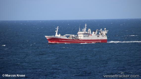
 RUT
RUT
Current Status
Where is the vessel?
RUT is currently in 17 nm NW of Kropa, based on AIS data received less than 1h ago.
Latest AIS update:
Current position: 46.53500° N, 141.12167° E (17 nm NW of Kropa)
Average speed (last 7 days): Loading…
Average speed (last 30 days): Loading…
Vessel profile: RUT is a Fishing Vessel with dimensions 14m x 67m.
This page combines live AIS, route history, probable destination signals, nearby traffic, and port activity for practical vessel monitoring.
The current position of vessel RUT is 46.53500 lat / 141.12167 lng. Updated: 2026-04-01 15:12:16 UTCNearest reference points:
- 40 nm NW of NEVELSK
- Near NEVELSK
- Near Kholmsk
Currently sailing under the flag of Russia ![]()
RUT built in 1997 year
Deadweight:
2500 tDetails:
Live Vessel RUT Analytics (details, animations, etc.)
Recent AIS points (UTC):
2026-04-01 09:45:09 UTC · 45.61667, 140.52499 · SOG 13 kn · COG -1°2026-04-01 11:27:10 UTC · 45.93833, 140.70166 · SOG 12 kn · COG -1°
2026-04-01 13:00:07 UTC · 46.24333, 140.86333 · SOG 12 kn · COG -1°
2026-04-01 15:12:16 UTC · 46.53500, 141.12167 · SOG 12 kn · COG -1°