 vesseltracker.com
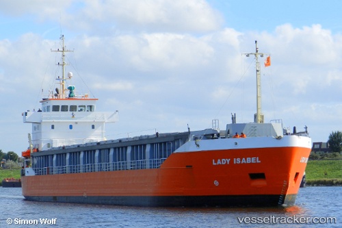
 EMILIE
Current Status
Where is the vessel?
EMILIE is currently in 10 nm NW of Vitte (Hiddensee), based on AIS data received about 1h ago.
Latest AIS update:
Current position: 54.71882° N, 12.95568° E (10 nm NW of Vitte (Hiddensee))
Average speed (last 7 days): Loading…
Average speed (last 30 days): Loading…
Vessel profile: EMILIE is a General Cargo with dimensions m x m.
This page combines live AIS, route history, probable destination signals, nearby traffic, and port activity for practical vessel monitoring.
The current position of vessel EMILIE is 54.71882 lat / 12.95568 lng. Updated: 2026-04-02 00:09:21 UTCNearest reference points:
- Near Schmedshagen
- Near Pruchten
- Near Stralsund
Currently sailing under the flag of Finland ![]()
Details:
Live Vessel EMILIE Analytics (details, animations, etc.)
Recent AIS points (UTC):
2026-04-01 17:33:30 UTC · 53.95692, 11.38716 · SOG 12.7 kn · COG 303°2026-04-01 19:44:11 UTC · 54.26917, 11.75727 · SOG 11.2 kn · COG 50°
2026-04-01 22:06:40 UTC · 54.53446, 12.33381 · SOG 11.6 kn · COG 58°
2026-04-02 00:09:21 UTC · 54.71882, 12.95568 · SOG 12 kn · COG 66°