 vesseltracker.com
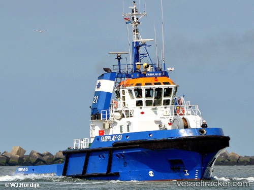
 FORTIZZA
Current Status
Where is the vessel?
FORTIZZA is currently in 11 nm E of Dover, based on AIS data received less than 1h ago.
Latest AIS update:
Current position: 51.14926° N, 1.60953° E (11 nm E of Dover)
Average speed (last 7 days): Loading…
Average speed (last 30 days): Loading…
Vessel profile: FORTIZZA is a Tug with dimensions m x m.
This page combines live AIS, route history, probable destination signals, nearby traffic, and port activity for practical vessel monitoring.
The current position of vessel FORTIZZA is 51.14926 lat / 1.60953 lng. Updated: 2026-03-29 11:47:44 UTCNearest reference points:
- 14 nm SE of RAMSGATE
- Near Sangatte
- Near Dover
Currently sailing under the flag of Malta ![]()
Details:
Live Vessel FORTIZZA Analytics (details, animations, etc.)
Recent AIS points (UTC):
2026-03-29 06:11:36 UTC · 51.50043, 2.09590 · SOG 6.5 kn · COG 229°2026-03-29 07:56:35 UTC · 51.36364, 1.91728 · SOG 5.3 kn · COG 221°
2026-03-29 09:58:57 UTC · 51.23544, 1.75620 · SOG 4.5 kn · COG 217°
2026-03-29 11:47:44 UTC · 51.14926, 1.60953 · SOG 5.1 kn · COG 232°