 vesseltracker.com
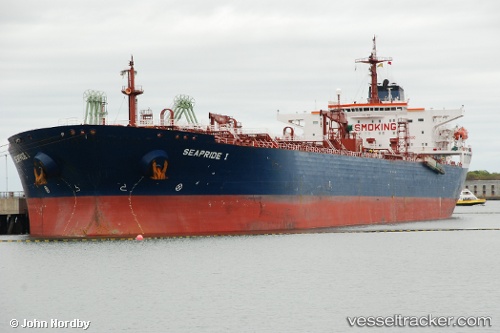
 Alba Marina
Current Status
Where is the vessel?
Alba Marina is currently in 10 nm E of VASTO, based on AIS data received less than 1h ago.
Latest AIS update:
Current position: 42.20095° N, 14.93857° E (10 nm E of VASTO)
Average speed (last 7 days): Loading…
Average speed (last 30 days): Loading…
Vessel profile: Alba Marina is a [oil_and_chemical_tanker.fso] with dimensions m x m.
This page combines live AIS, route history, probable destination signals, nearby traffic, and port activity for practical vessel monitoring.
The current position of vessel Alba Marina is 42.20095 lat / 14.93857 lng. Updated: 2026-04-02 00:08:53 UTCNearest reference points:
- Near TERMOLI
- 26 nm N of Isole Tremiti
- Near Pescara
Currently sailing under the flag of Italy ![]()
Alba Marina built in 1999 year
Deadweight:
108152 tDetails:
Live Vessel Alba Marina Analytics (details, animations, etc.)
Recent AIS points (UTC):
2026-04-01 17:31:32 UTC · 42.20097, 14.93851 · SOG 0.3 kn · COG 209°2026-04-01 19:38:17 UTC · 42.20091, 14.93858 · SOG 0 kn · COG 198°
2026-04-01 22:07:06 UTC · 42.20092, 14.93861 · SOG 0.1 kn · COG 195°
2026-04-02 00:08:53 UTC · 42.20095, 14.93857 · SOG 0 kn · COG 200°