 vesseltracker.com
 SEETAH
Current Status
Where is the vessel?
SEETAH is currently in Near Abu Musa, based on AIS data received about 1h ago.
Latest AIS update:
Current position: 26.03905° N, 54.96548° E (Near Abu Musa)
Average speed (last 7 days): Loading…
Average speed (last 30 days): Loading…
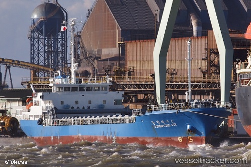
Vessel profile: SEETAH is a General Cargo with dimensions m x m.
This page combines live AIS, route history, probable destination signals, nearby traffic, and port activity for practical vessel monitoring.
The current position of vessel SEETAH is 26.03905 lat / 54.96548 lng. Updated: 2026-04-04 23:24:35 UTCNearest reference points:
- Near LENGEH
- 17 nm NW of Free Port
- Near Sharjah
Currently sailing under the flag of Saint Kitts and Nevis ![]()
Details:
Live Vessel SEETAH Analytics (details, animations, etc.)
Recent AIS points (UTC):
2026-04-04 18:24:51 UTC · 26.00640, 55.72220 · SOG 7.9 kn · COG 330°2026-04-04 19:47:55 UTC · 25.98431, 55.52380 · SOG 8 kn · COG 328°
2026-04-04 21:35:54 UTC · 25.29066, 55.54069 · SOG 48.5 kn · COG 352°
2026-04-04 23:24:35 UTC · 26.03905, 54.96548 · SOG 8.4 kn · COG 335°