 vesseltracker.com
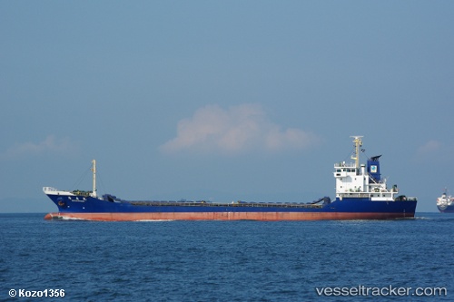
 Maximus 999
Current Status
Where is the vessel?
Maximus 999 is currently in 24 nm NE of Pelabuhan Badas, based on AIS data received about 4h ago.
Latest AIS update:
Current position: 8.21772° S, 117.69842° E (24 nm NE of Pelabuhan Badas)
Average speed (last 7 days): Loading…
Average speed (last 30 days): Loading…
Vessel profile: Maximus 999 is a General Cargo Ship with dimensions 108m x 16m.
This page combines live AIS, route history, probable destination signals, nearby traffic, and port activity for practical vessel monitoring.
The current position of vessel Maximus 999 is -8.21772 lat / 117.69842 lng. Updated: 2026-04-19 13:34:55 UTCNearest reference points:
- 30 nm N of BIMA
- Near LEMBAR
- 37 nm E of Pagerungan
Currently sailing under the flag of Indonesia ![]()
Details:
Live Vessel Maximus 999 Analytics (details, animations, etc.)
Recent AIS points (UTC):
2026-04-19 13:34:55 UTC · -8.21772, 117.69842 · SOG 0.1 kn · COG -1°2026-04-19 13:34:55 UTC · -8.21772, 117.69842 · SOG 0.1 kn · COG -1°
2026-04-19 13:34:55 UTC · -8.21772, 117.69842 · SOG 0.1 kn · COG -1°
2026-04-19 13:34:55 UTC · -8.21772, 117.69842 · SOG 0.1 kn · COG -1°