 vesseltracker.com
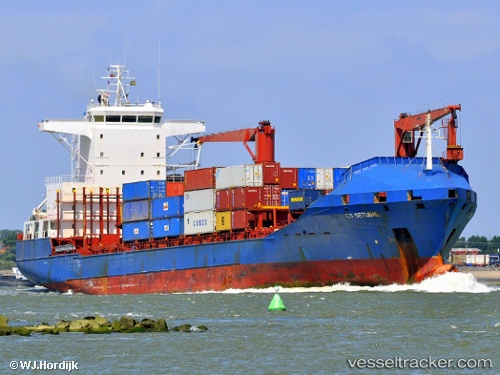
 Setuba
Current Status
Where is the vessel?
Setuba is currently in Near CAGAYAN DE ORO, based on AIS data received less than 1h ago.
Latest AIS update:
Current position: 8.57656° N, 124.64152° E (Near CAGAYAN DE ORO)
Average speed (last 7 days): Loading…
Average speed (last 30 days): Loading…
Vessel profile: Setuba is a Container Ship with dimensions 148m x 25m.
This page combines live AIS, route history, probable destination signals, nearby traffic, and port activity for practical vessel monitoring.
The current position of vessel Setuba is 8.57656 lat / 124.64152 lng. Updated: 2026-03-30 19:57:08 UTCNearest reference points:
- Near Taganito
- 17 nm SW of Bacong
- Near DICT / SVT
Currently sailing under the flag of Panama ![]()
Setuba built in 1997 year
Deadweight:
16727 tDetails:
Live Vessel Setuba Analytics (details, animations, etc.)
Recent AIS points (UTC):
2026-03-30 13:36:31 UTC · 8.59815, 124.63948 · SOG 0.1 kn · COG -1°2026-03-30 15:56:45 UTC · 8.58950, 124.64339 · SOG 0.4 kn · COG -1°
2026-03-30 17:48:17 UTC · 8.57500, 124.64500 · SOG 0 kn · COG -1°
2026-03-30 19:57:08 UTC · 8.57656, 124.64152 · SOG 0.2 kn · COG -1°