 vesseltracker.com
Find the position of the vessel Glovis Chorus on the map. The latter are known coordinates and path.
marine traffic ship tracker show on live map
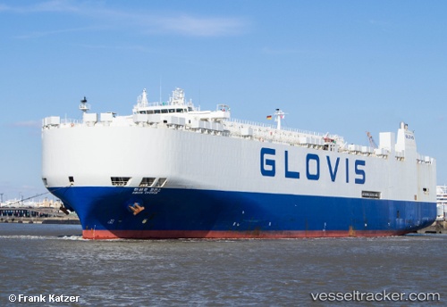
The current position of vessel Glovis Chorus is 28.7948 lat / -95.1513 lng. Updated: 2025-07-02 22:32:21 UTCCurrently sailing under the flag of Korea
Glovis Chorus built in 1997 year
Deadweight:
21505 tPayload_mass:
21505 tonneGross tonnage:
55729Service entry:
1997-01-01T00:00:00ZManufacturer:
HD Hyundai Mipo (South Korean shipbuilding company)Details:
Last coordinates of the vessel:
UTC, 28.9399, -95.3402, course: 287, speed: 0UTC, 28.9338, -95.328, course: 125, speed: 3.9
UTC, 28.8822, -95.2293, course: 144, speed: 15.4
2025-07-02 22:32:21 UTC, 28.7948, -95.1513, course: 141, speed: 16.2