 vesseltracker.com
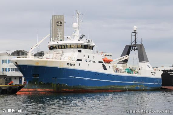
 Havtind
Current Status
Where is the vessel?
Havtind is currently in 114 nm E of Hopen, based on AIS data received about 2h ago.
Latest AIS update:
Current position: 76.22918° N, 33.11688° E (114 nm E of Hopen)
Average speed (last 7 days): Loading…
Average speed (last 30 days): Loading…
Vessel profile: Havtind is a Fishing Vessel with dimensions 60m x 12m.
This page combines live AIS, route history, probable destination signals, nearby traffic, and port activity for practical vessel monitoring.
The current position of vessel Havtind is 76.22918 lat / 33.11688 lng. Updated: 2026-03-29 01:05:30 UTCCurrently sailing under the flag of Norway ![]()
Havtind built in 1997 year
Deadweight:
700 tDetails:
Live Vessel Havtind Analytics (details, animations, etc.)
Recent AIS points (UTC):
2026-03-28 19:38:41 UTC · 76.14948, 33.48034 · SOG 0.9 kn · COG 165°2026-03-28 21:36:03 UTC · 76.19144, 33.30427 · SOG 2.3 kn · COG 314°
2026-03-28 23:08:13 UTC · 76.22225, 33.09956 · SOG 2.2 kn · COG 331°
2026-03-29 01:05:30 UTC · 76.22918, 33.11688 · SOG 2.4 kn · COG 113°