 vesseltracker.com
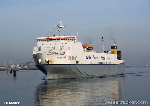
 SEA CARYATIS
Current Status
Where is the vessel?
SEA CARYATIS is currently in 75 nm E of Ryuo, based on AIS data received about 2h ago.
Latest AIS update:
Current position: 36.11064° N, 18.06679° E (75 nm E of Ryuo)
Average speed (last 7 days): Loading…
Average speed (last 30 days): Loading…
Vessel profile: SEA CARYATIS is a Ro-Ro Cargo with dimensions m x m.
This page combines live AIS, route history, probable destination signals, nearby traffic, and port activity for practical vessel monitoring.
The current position of vessel SEA CARYATIS is 36.11064 lat / 18.06679 lng. Updated: 2026-04-08 19:23:47 UTCNearest reference points:
- 103 nm NE of Ryuo
- 64 nm NE of Ryuo
- 53 nm NE of Ryuo
Details:
Live Vessel SEA CARYATIS Analytics (details, animations, etc.)
Recent AIS points (UTC):
2026-04-08 13:59:51 UTC · 36.02928, 16.51383 · SOG 14.4 kn · COG 85°2026-04-08 16:14:21 UTC · 36.06291, 17.16153 · SOG 13.9 kn · COG 84°
2026-04-08 17:41:27 UTC · 36.08787, 17.57719 · SOG 13.8 kn · COG 85°
2026-04-08 19:23:47 UTC · 36.11064, 18.06679 · SOG 14.1 kn · COG 86°