 vesseltracker.com
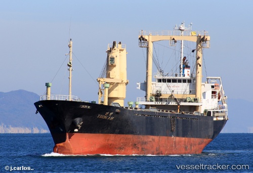
 LEO
LEO
Current Status
Where is the vessel?
LEO is currently in 95 nm W of JAIGAD, based on AIS data received less than 1h ago.
Latest AIS update:
Current position: 17.10534° N, 71.58387° E (95 nm W of JAIGAD)
Average speed (last 7 days): Loading…
Average speed (last 30 days): Loading…
Vessel profile: LEO is a General Cargo with dimensions m x m.
This page combines live AIS, route history, probable destination signals, nearby traffic, and port activity for practical vessel monitoring.
The current position of vessel LEO is 17.10534 lat / 71.58387 lng. Updated: 2026-04-23 00:17:42 UTCNearest reference points:
- Near JAIGAD
- 49 nm W of Pernem
- 89 nm W of Marmagao (Marmugao)
Currently sailing under the flag of Saint Kitts and Nevis ![]()
Details:
Live Vessel LEO Analytics (details, animations, etc.)
Recent AIS points (UTC):
2026-04-22 19:23:11 UTC · 17.19915, 72.22559 · SOG 7.9 kn · COG -1°2026-04-22 22:06:02 UTC · 17.14751, 71.86817 · SOG 7.6 kn · COG -1°
2026-04-22 22:37:22 UTC · 17.13674, 71.79952 · SOG 7.5 kn · COG -1°
2026-04-23 00:17:42 UTC · 17.10534, 71.58387 · SOG 7.5 kn · COG -1°