 vesseltracker.com
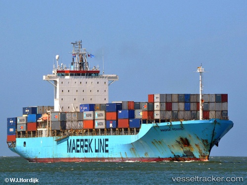
 MAERSK PENANG
Current Status
Where is the vessel?
MAERSK PENANG is currently in 37 nm E of Kualalangsa, based on AIS data received less than 1h ago.
Latest AIS update:
Current position: 4.67833° N, 98.62500° E (37 nm E of Kualalangsa)
Average speed (last 7 days): Loading…
Average speed (last 30 days): Loading…
Vessel profile: MAERSK PENANG is a Container Ship with dimensions 210m x 32m.
This page combines live AIS, route history, probable destination signals, nearby traffic, and port activity for practical vessel monitoring.
The current position of vessel MAERSK PENANG is 4.67833 lat / 98.62500 lng. Updated: 2026-04-08 07:13:14 UTCNearest reference points:
- 43 nm NE of PANGKALAN SUSU
- Near Belawan
- 10 nm NE of Belawan
Currently sailing under the flag of Liberia ![]()
MAERSK PENANG built in 1998 year
Deadweight:
38250 tDetails:
Live Vessel MAERSK PENANG Analytics (details, animations, etc.)
Recent AIS points (UTC):
2026-04-08 01:32:53 UTC · 5.48821, 97.36769 · SOG 15.8 kn · COG 110°2026-04-08 04:13:40 UTC · 5.13398, 97.97096 · SOG 15.8 kn · COG 123°
2026-04-08 05:31:18 UTC · 4.93500, 98.25167 · SOG 15 kn · COG -1°
2026-04-08 07:13:14 UTC · 4.67833, 98.62500 · SOG 16 kn · COG -1°