 vesseltracker.com
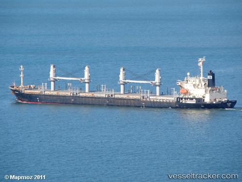
 AMIRAL
Current Status
Where is the vessel?
AMIRAL is currently in 38 nm S of Al Qunfudah, based on AIS data received about 1h ago.
Latest AIS update:
Current position: 18.48886° N, 40.99304° E (38 nm S of Al Qunfudah)
Average speed (last 7 days): Loading…
Average speed (last 30 days): Loading…
Vessel profile: AMIRAL is a General Cargo with dimensions m x m.
This page combines live AIS, route history, probable destination signals, nearby traffic, and port activity for practical vessel monitoring.
The current position of vessel AMIRAL is 18.48886 lat / 40.99304 lng. Updated: 2026-04-01 21:19:53 UTCNearest reference points:
- 99 nm SW of Al Qunfudah
- 92 nm SW of Al Qahmah
- Near Jazan Economic City
Currently sailing under the flag of Saint Kitts and Nevis ![]()
Details:
Live Vessel AMIRAL Analytics (details, animations, etc.)
Recent AIS points (UTC):
2026-04-01 15:36:55 UTC · 18.94398, 39.73158 · SOG 10 kn · COG 155°2026-04-01 18:09:35 UTC · 18.84271, 38.88741 · SOG 38.7 kn · COG -1°
2026-04-01 19:18:45 UTC · 19.41559, 39.58140 · SOG 38.8 kn · COG 151°
2026-04-01 21:19:53 UTC · 18.48886, 40.99304 · SOG 38.7 kn · COG -1°