 vesseltracker.com
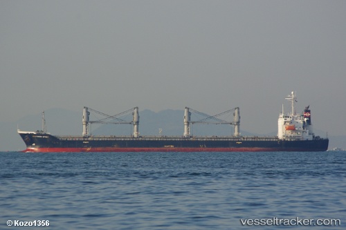
 SOUTH SPIRIT
Current Status
Where is the vessel?
SOUTH SPIRIT is currently in Near BENGHAZI, based on AIS data received about 1h ago.
Latest AIS update:
Current position: 32.14698° N, 19.97078° E (Near BENGHAZI)
Average speed (last 7 days): Loading…
Average speed (last 30 days): Loading…
Vessel profile: SOUTH SPIRIT is a Bulk Carrier with dimensions m x m.
This page combines live AIS, route history, probable destination signals, nearby traffic, and port activity for practical vessel monitoring.
The current position of vessel SOUTH SPIRIT is 32.14698 lat / 19.97078 lng. Updated: 2026-03-30 05:24:02 UTCNearest reference points:
- Near BENGHAZI
- Near Banghazi
- 61 nm N of Al Marj
Currently sailing under the flag of San Marino ![]()
Details:
Live Vessel SOUTH SPIRIT Analytics (details, animations, etc.)
Recent AIS points (UTC):
2026-03-29 23:48:02 UTC · 32.14712, 19.97102 · SOG 0.2 kn · COG 302°2026-03-30 01:39:02 UTC · 32.14677, 19.97060 · SOG 0.2 kn · COG 324°
2026-03-30 03:39:02 UTC · 32.14680, 19.97072 · SOG 0.3 kn · COG 325°
2026-03-30 05:24:02 UTC · 32.14698, 19.97078 · SOG 0.3 kn · COG 309°