 vesseltracker.com
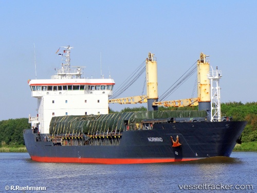
 BOZKURT
Current Status
Where is the vessel?
BOZKURT is currently in 18 nm NE of Tsarevo, based on AIS data received about 1h ago.
Latest AIS update:
Current position: 42.36481° N, 28.15797° E (18 nm NE of Tsarevo)
Average speed (last 7 days): Loading…
Average speed (last 30 days): Loading…
Vessel profile: BOZKURT is a General Cargo with dimensions m x m.
This page combines live AIS, route history, probable destination signals, nearby traffic, and port activity for practical vessel monitoring.
The current position of vessel BOZKURT is 42.36481 lat / 28.15797 lng. Updated: 2026-04-17 00:19:56 UTCNearest reference points:
- Near IGNEADA
- 20 nm SE of Varna
- Near Varna
Currently sailing under the flag of Liberia ![]()
Details:
Live Vessel BOZKURT Analytics (details, animations, etc.)
Recent AIS points (UTC):
2026-04-16 15:28:08 UTC · 43.40227, 28.16604 · SOG 0 kn · COG -1°2026-04-16 19:53:08 UTC · 42.99951, 27.96327 · SOG 8.9 kn · COG -1°
2026-04-16 22:22:27 UTC · 42.62456, 27.95956 · SOG 9.4 kn · COG -1°
2026-04-17 00:19:56 UTC · 42.36481, 28.15797 · SOG 8.8 kn · COG -1°