 vesseltracker.com
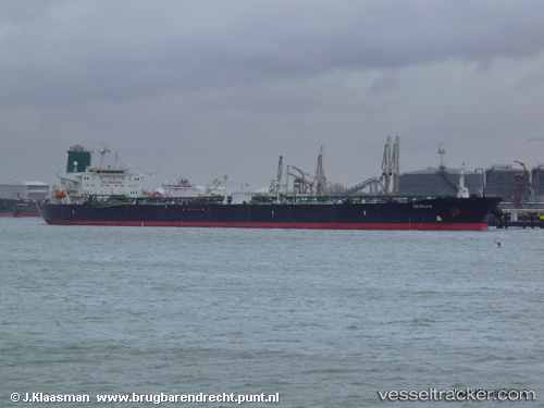
Stark I
Current StatusWhere is the vessel?
Stark I is currently in 22 nm W of Westport/Port Klang, based on AIS data received about 5d ago.
Latest AIS update:
Current position: 2.91454° N, 100.92748° E (22 nm W of Westport/Port Klang)
Average speed (last 7 days): Loading…
Average speed (last 30 days): Loading…
Vessel profile: Stark I is a Crude Oil Tanker with dimensions 48m x 275m.
This page combines live AIS, route history, probable destination signals, nearby traffic, and port activity for practical vessel monitoring.
The current position of vessel Stark I is 2.91454 lat / 100.92748 lng. Updated: 2026-04-05 04:12:27 UTCNearest reference points:
- 21 nm SW of Pulau Indah
- Near Westport/Port Klang
- Near Pulau Indah
Details:
Live Vessel Stark I Analytics (details, animations, etc.)
Recent AIS points (UTC):
2026-04-05 03:54:37 UTC · 2.86831, 100.97141 · SOG 12.6 kn · COG 316°2026-04-05 04:12:27 UTC · 2.91454, 100.92748 · SOG 12.9 kn · COG 315°
2026-04-05 04:12:27 UTC · 2.91454, 100.92748 · SOG 12.9 kn · COG 315°
2026-04-05 04:12:27 UTC · 2.91454, 100.92748 · SOG 12.9 kn · COG 315°