 vesseltracker.com
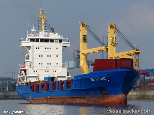
 TEOS
TEOS
Current Status
Where is the vessel?
TEOS is currently in Near Matosinhos, based on AIS data received less than 1h ago.
Latest AIS update:
Current position: 41.17869° N, 8.69932° W (Near Matosinhos)
Average speed (last 7 days): Loading…
Average speed (last 30 days): Loading…
Vessel profile: TEOS is a General Cargo with dimensions m x m.
This page combines live AIS, route history, probable destination signals, nearby traffic, and port activity for practical vessel monitoring.
The current position of vessel TEOS is 41.17869 lat / -8.69932 lng. Updated: 2026-03-30 17:29:12 UTCNearest reference points:
- Near Matosinhos
- Near POVOA DE VARZIM
- Near Gafanha da Nazaré
Currently sailing under the flag of Barbados ![]()
Details:
Live Vessel TEOS Analytics (details, animations, etc.)
Recent AIS points (UTC):
2026-03-30 12:08:08 UTC · 41.17872, -8.69932 · SOG 0 kn · COG 234°2026-03-30 13:35:14 UTC · 41.17872, -8.69934 · SOG 0 kn · COG 234°
2026-03-30 15:44:58 UTC · 41.17833, -8.69833 · SOG 0 kn · COG -1°
2026-03-30 17:29:12 UTC · 41.17869, -8.69932 · SOG 0 kn · COG 234°