 vesseltracker.com
 HAINAN ISLAND
Current Status
Where is the vessel?
HAINAN ISLAND is currently in 18 nm N of Krueng Geukueh, based on AIS data received about 2h ago.
Latest AIS update:
Current position: 5.55459° N, 97.03091° E (18 nm N of Krueng Geukueh)
Average speed (last 7 days): Loading…
Average speed (last 30 days): Loading…
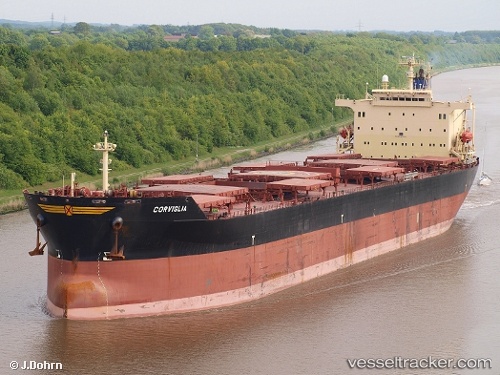
Vessel profile: HAINAN ISLAND is a Bulk Carrier with dimensions m x m.
This page combines live AIS, route history, probable destination signals, nearby traffic, and port activity for practical vessel monitoring.
The current position of vessel HAINAN ISLAND is 5.55459 lat / 97.03091 lng. Updated: 2026-03-28 09:44:04 UTCNearest reference points:
- 45 nm NE of Krueng Geukueh
- 34 nm N of Langsa Venture FPSO
- 45 nm N of Langsa Venture FPSO
Currently sailing under the flag of Panama ![]()
HAINAN ISLAND built in 1999 year
Deadweight:
73035 tDetails:
Live Vessel HAINAN ISLAND Analytics (details, animations, etc.)
Recent AIS points (UTC):
2026-03-28 03:30:53 UTC · 5.81180, 96.00563 · SOG 9.6 kn · COG 108°2026-03-28 06:00:53 UTC · 5.71500, 96.41333 · SOG 10 kn · COG -1°
2026-03-28 08:06:43 UTC · 5.63311, 96.75571 · SOG 10.1 kn · COG 101°
2026-03-28 09:44:04 UTC · 5.55459, 97.03091 · SOG 10.8 kn · COG 105°