 vesseltracker.com
 KIN A
KIN A
Current Status
Where is the vessel?
KIN A is currently in 52 nm SE of JASK, based on AIS data received about 20h ago.
Latest AIS update:
Current position: 24.86988° N, 58.18793° E (52 nm SE of JASK)
Average speed (last 7 days): Loading…
Average speed (last 30 days): Loading…
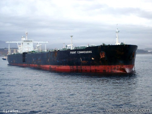
Vessel profile: KIN A is a Crude Oil Tanker with dimensions m x m.
This page combines live AIS, route history, probable destination signals, nearby traffic, and port activity for practical vessel monitoring.
The current position of vessel KIN A is 24.86988 lat / 58.18793 lng. Updated: 2026-04-21 14:04:00 UTCNearest reference points:
- 58 nm S of JASK
- 17 nm SE of JASK
- 42 nm SE of Offshore Fujairah
Currently sailing under the flag of Comoros ![]()
Details:
Live Vessel KIN A Analytics (details, animations, etc.)
Recent AIS points (UTC):
2026-04-21 14:04:00 UTC · 24.86988, 58.18793 · SOG 11.3 kn · COG 290°2026-04-21 14:04:00 UTC · 24.86988, 58.18793 · SOG 11.3 kn · COG 290°
2026-04-21 14:04:00 UTC · 24.86988, 58.18793 · SOG 11.3 kn · COG 290°
2026-04-21 14:04:00 UTC · 24.86988, 58.18793 · SOG 11.3 kn · COG 290°