 vesseltracker.com
Harvey Well
Current StatusWhere is the vessel?
Harvey Well is currently in 99 nm NW of Ulamona, based on AIS data received less than 1h ago.
Latest AIS update:
Current position: 4.26328° S, 149.77058° E (99 nm NW of Ulamona)
Average speed (last 7 days): Loading…
Average speed (last 30 days): Loading…
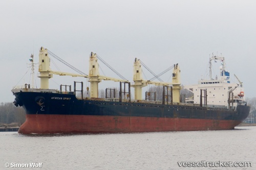
Vessel profile: Harvey Well is a Bulk Carrier with dimensions 26m x 154m.
This page combines live AIS, route history, probable destination signals, nearby traffic, and port activity for practical vessel monitoring.
The current position of vessel Harvey Well is -4.26328 lat / 149.77058 lng. Updated: 2026-04-02 12:17:17 UTCNearest reference points:
- Near Rabaul
- 42 nm E of Tami Island
Details:
Live Vessel Harvey Well Analytics (details, animations, etc.)
Recent AIS points (UTC):
2026-04-02 06:16:09 UTC · -5.20822, 150.27882 · SOG 11.1 kn · COG 13°2026-04-02 07:22:01 UTC · -5.01421, 150.24030 · SOG 10.9 kn · COG 345°
2026-04-02 10:04:07 UTC · -4.58776, 149.98267 · SOG 11 kn · COG 325°
2026-04-02 12:17:17 UTC · -4.26328, 149.77058 · SOG 10.3 kn · COG 325°