 vesseltracker.com
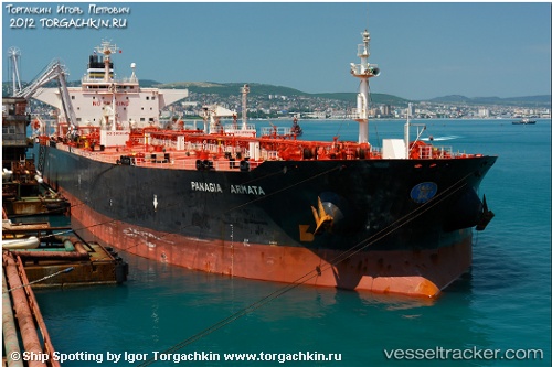
 EVEREST
Current Status
Where is the vessel?
EVEREST is currently in 48 nm N of Goto, based on AIS data received about 1h ago.
Latest AIS update:
Current position: 12.96333° N, 68.69500° W (48 nm N of Goto)
Average speed (last 7 days): Loading…
Average speed (last 30 days): Loading…
Vessel profile: EVEREST is a Crude Oil Tanker with dimensions 248m x 43m.
This page combines live AIS, route history, probable destination signals, nearby traffic, and port activity for practical vessel monitoring.
The current position of vessel EVEREST is 12.96333 lat / -68.69500 lng. Updated: 2026-04-02 21:19:07 UTCNearest reference points:
- Near Bullenbaai
- 24 nm NW of Palm Beach
- 148 nm N of Dorp Rincón
Currently sailing under the flag of Panama ![]()
EVEREST built in 1998 year
Deadweight:
98774 tDetails:
Live Vessel EVEREST Analytics (details, animations, etc.)
Recent AIS points (UTC):
2026-04-02 15:01:09 UTC · 12.93500, -68.71000 · SOG 0 kn · COG -1°2026-04-02 17:37:07 UTC · 12.94667, -68.70333 · SOG 0 kn · COG -1°
2026-04-02 17:37:07 UTC · 12.94667, -68.70333 · SOG 0 kn · COG -1°
2026-04-02 21:19:07 UTC · 12.96333, -68.69500 · SOG 0 kn · COG -1°