 vesseltracker.com
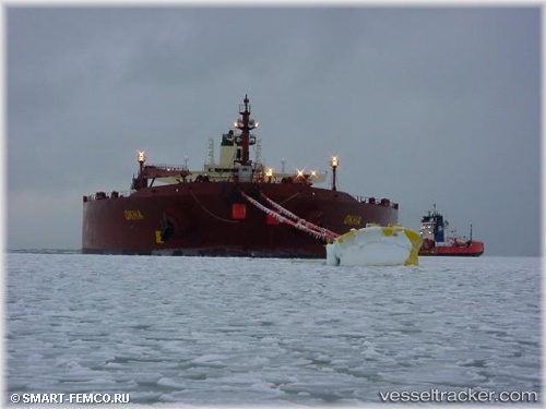
 Okha
Okha
Current Status
Where is the vessel?
Okha is currently in Near Tuas, based on AIS data received about 1h ago.
Latest AIS update:
Current position: 1.25169° N, 103.60954° E (Near Tuas)
Average speed (last 7 days): Loading…
Average speed (last 30 days): Loading…
Vessel profile: Okha is a Fpso Tanker with dimensions 274m x 48m.
This page combines live AIS, route history, probable destination signals, nearby traffic, and port activity for practical vessel monitoring.
The current position of vessel Okha is 1.25169 lat / 103.60954 lng. Updated: 2026-04-14 22:13:46 UTCNearest reference points:
- Near Tuas
- Near JURONG ISLAND
- Near Nipah
Currently sailing under the flag of Australia ![]()
Okha built in 1999 year
Deadweight:
157823 tDetails:
Live Vessel Okha Analytics (details, animations, etc.)
Recent AIS points (UTC):
2026-04-14 15:41:49 UTC · 1.25168, 103.60955 · SOG 0 kn · COG 90°2026-04-14 18:16:57 UTC · 1.25169, 103.60953 · SOG 0 kn · COG 90°
2026-04-14 19:56:48 UTC · 1.25170, 103.60956 · SOG 0 kn · COG 90°
2026-04-14 22:13:46 UTC · 1.25169, 103.60954 · SOG 0 kn · COG 90°