 vesseltracker.com
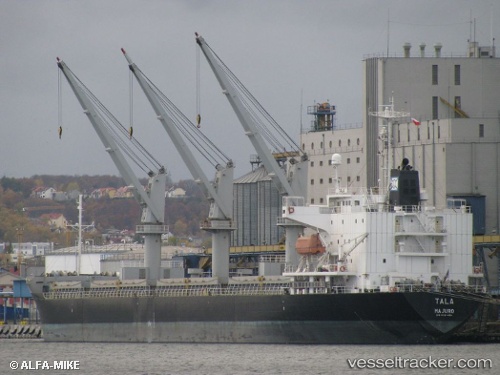
 SANTORINI
Current Status
Where is the vessel?
SANTORINI is currently in 17 nm SW of Zamoranos, based on AIS data received about 2h ago.
Latest AIS update:
Current position: 37.29181° N, 3.92318° E (17 nm SW of Zamoranos)
Average speed (last 7 days): Loading…
Average speed (last 30 days): Loading…
Vessel profile: SANTORINI is a General Cargo with dimensions m x m.
This page combines live AIS, route history, probable destination signals, nearby traffic, and port activity for practical vessel monitoring.
The current position of vessel SANTORINI is 37.29181 lat / 3.92318 lng. Updated: 2026-04-01 17:26:58 UTCNearest reference points:
- Near Zamoranos
- 16 nm NE of Berja
- Near Algiers
Currently sailing under the flag of San Marino ![]()
Details:
Live Vessel SANTORINI Analytics (details, animations, etc.)
Recent AIS points (UTC):
2026-04-01 11:52:27 UTC · 37.05667, 2.80667 · SOG 8 kn · COG -1°2026-04-01 13:52:25 UTC · 37.14333, 3.17167 · SOG 10 kn · COG -1°
2026-04-01 15:22:25 UTC · 37.21167, 3.47500 · SOG 9 kn · COG -1°
2026-04-01 17:26:58 UTC · 37.29181, 3.92318 · SOG 10.8 kn · COG -1°