 vesseltracker.com
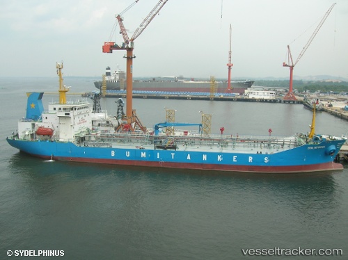
Mt.bumi Indonesia
Current StatusWhere is the vessel?
Mt.bumi Indonesia is currently in Near Dumai, based on AIS data received less than 1h ago.
Latest AIS update:
Current position: 1.71633° N, 101.45266° E (Near Dumai)
Average speed (last 7 days): Loading…
Average speed (last 30 days): Loading…
Vessel profile: Mt.bumi Indonesia is a Oil Products Tanker with dimensions 20m x 108m.
This page combines live AIS, route history, probable destination signals, nearby traffic, and port activity for practical vessel monitoring.
The current position of vessel Mt.bumi Indonesia is 1.71633 lat / 101.45266 lng. Updated: 2026-04-01 05:50:33 UTCNearest reference points:
- Near Dumai
- 14 nm W of SUNGAI UDANG
- 13 nm SW of PORT DICKSON
Details:
Live Vessel Mt.bumi Indonesia Analytics (details, animations, etc.)
Recent AIS points (UTC):
2026-03-31 23:20:22 UTC · 1.71579, 101.45468 · SOG 0.2 kn · COG 291°2026-04-01 02:23:27 UTC · 1.71575, 101.45279 · SOG 0.1 kn · COG 76°
2026-04-01 03:29:29 UTC · 1.71593, 101.45252 · SOG 0.1 kn · COG 93°
2026-04-01 05:50:33 UTC · 1.71633, 101.45266 · SOG 0 kn · COG 92°