 vesseltracker.com
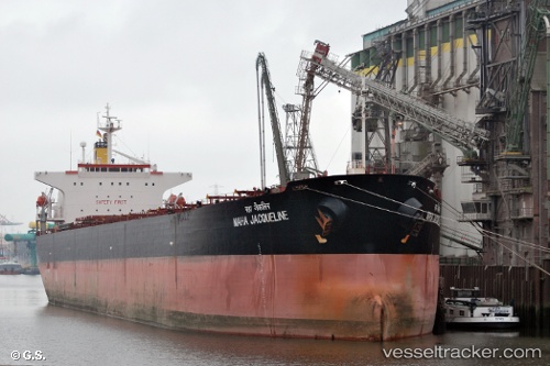
 SIAN
SIAN
Current Status
Where is the vessel?
SIAN is currently in 21 nm S of Abu Musa, based on AIS data received about 2h ago.
Latest AIS update:
Current position: 25.52079° N, 54.92839° E (21 nm S of Abu Musa)
Average speed (last 7 days): Loading…
Average speed (last 30 days): Loading…
Vessel profile: SIAN is a Bulk Carrier with dimensions m x m.
This page combines live AIS, route history, probable destination signals, nearby traffic, and port activity for practical vessel monitoring.
The current position of vessel SIAN is 25.52079 lat / 54.92839 lng. Updated: 2026-04-03 00:14:07 UTCNearest reference points:
- 17 nm NW of Free Port
- Near Free Port
- 12 nm NW of Jebel Ali
Currently sailing under the flag of Antigua and Barbuda ![]()
Details:
Live Vessel SIAN Analytics (details, animations, etc.)
Recent AIS points (UTC):
2026-04-02 16:39:43 UTC · 25.52170, 54.92836 · SOG 0.3 kn · COG -1°2026-04-02 19:28:57 UTC · 25.52036, 54.92801 · SOG 1.5 kn · COG 304°
2026-04-02 22:19:12 UTC · 25.52000, 54.92724 · SOG 0 kn · COG 333°
2026-04-03 00:14:07 UTC · 25.52079, 54.92839 · SOG 3.5 kn · COG -1°