 vesseltracker.com
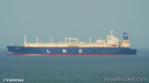
 K. FREESIA
Current Status
Where is the vessel?
K. FREESIA is currently in Near GLADSTONE, based on AIS data received about 2h ago.
Latest AIS update:
Current position: 23.78355° S, 151.20139° E (Near GLADSTONE)
Average speed (last 7 days): Loading…
Average speed (last 30 days): Loading…
Vessel profile: K. FREESIA is a Lng Tanker with dimensions m x m.
This page combines live AIS, route history, probable destination signals, nearby traffic, and port activity for practical vessel monitoring.
The current position of vessel K. FREESIA is -23.78355 lat / 151.20139 lng. Updated: 2026-03-26 05:41:43 UTCNearest reference points:
- Near Gladstone Harbor
- Near Boyne Island
- Near ROSSLYN
Currently sailing under the flag of Panama ![]()
Details:
Live Vessel K. FREESIA Analytics (details, animations, etc.)
Recent AIS points (UTC):
2026-03-26 00:05:43 UTC · -23.78357, 151.20140 · SOG 0 kn · COG 122°2026-03-26 01:38:43 UTC · -23.78353, 151.20139 · SOG 0 kn · COG 121°
2026-03-26 03:50:43 UTC · -23.78345, 151.20135 · SOG 0 kn · COG 121°
2026-03-26 05:41:43 UTC · -23.78355, 151.20139 · SOG 0 kn · COG 121°