 vesseltracker.com
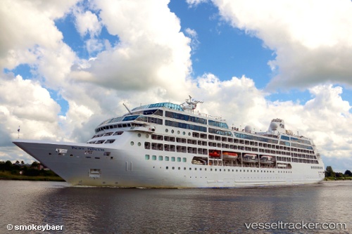
 AZAMARA ONWARD
Current Status
Where is the vessel?
AZAMARA ONWARD is currently in 20 nm E of Vung Ro, based on AIS data received about 1h ago.
Latest AIS update:
Current position: 12.97173° N, 109.73522° E (20 nm E of Vung Ro)
Average speed (last 7 days): Loading…
Average speed (last 30 days): Loading…
Vessel profile: AZAMARA ONWARD is a Passengers Ship with dimensions m x m.
This page combines live AIS, route history, probable destination signals, nearby traffic, and port activity for practical vessel monitoring.
The current position of vessel AZAMARA ONWARD is 12.97173 lat / 109.73522 lng. Updated: 2026-03-29 03:36:48 UTCNearest reference points:
- 29 nm NE of Vung Ro
- Near Vinh Cam Ranh
- Near Bong Son
Currently sailing under the flag of Marshall Islands ![]()
Details:
Live Vessel AZAMARA ONWARD Analytics (details, animations, etc.)
Recent AIS points (UTC):
2026-03-28 21:16:57 UTC · 14.42333, 109.54333 · SOG 17 kn · COG -1°2026-03-28 23:44:11 UTC · 13.72108, 109.62947 · SOG 17.6 kn · COG 172°
2026-03-29 00:29:28 UTC · 13.49833, 109.66167 · SOG 18 kn · COG -1°
2026-03-29 03:36:48 UTC · 12.97173, 109.73522 · SOG 14.9 kn · COG 175°