 vesseltracker.com
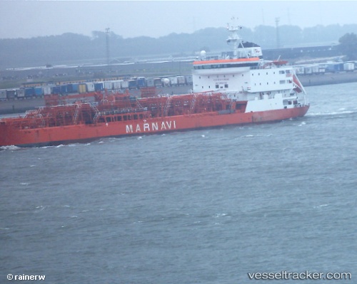
 AKRA105
Current Status
Where is the vessel?
AKRA105 is currently in Near New Priok Port, based on AIS data received less than 1h ago.
Latest AIS update:
Current position: 6.04071° S, 106.91288° E (Near New Priok Port)
Average speed (last 7 days): Loading…
Average speed (last 30 days): Loading…
Vessel profile: AKRA105 is a Oil/Chemical Tanker with dimensions m x m.
This page combines live AIS, route history, probable destination signals, nearby traffic, and port activity for practical vessel monitoring.
The current position of vessel AKRA105 is -6.04071 lat / 106.91288 lng. Updated: 2026-04-22 19:16:39 UTCNearest reference points:
- Near New Priok Port
- Near Jakarta
- Near Ancol
Currently sailing under the flag of Indonesia ![]()
Details:
Live Vessel AKRA105 Analytics (details, animations, etc.)
Recent AIS points (UTC):
2026-04-22 15:40:33 UTC · -6.04273, 106.91311 · SOG 0 kn · COG 23°2026-04-22 16:52:35 UTC · -6.04266, 106.91316 · SOG 0.1 kn · COG 25°
2026-04-22 17:31:37 UTC · -6.04116, 106.91253 · SOG 0.2 kn · COG 120°
2026-04-22 19:16:39 UTC · -6.04071, 106.91288 · SOG 0.1 kn · COG 146°