 vesseltracker.com
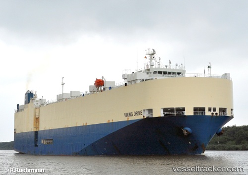
 VIKING DRIVE
Current Status
Where is the vessel?
VIKING DRIVE is currently in Near Choa Chu Kang, based on AIS data received less than 1h ago.
Latest AIS update:
Current position: 1.25959° N, 103.88790° E (Near Choa Chu Kang)
Average speed (last 7 days): Loading…
Average speed (last 30 days): Loading…
Vessel profile: VIKING DRIVE is a Vehicles Carrier with dimensions 164m x 28m.
This page combines live AIS, route history, probable destination signals, nearby traffic, and port activity for practical vessel monitoring.
The current position of vessel VIKING DRIVE is 1.25959 lat / 103.88790 lng. Updated: 2026-03-29 13:30:53 UTCNearest reference points:
- Near Choa Chu Kang
- Near Tampines
- Near Singapore
Currently sailing under the flag of Marshall Islands ![]()
VIKING DRIVE built in 2000 year
Deadweight:
10813 tDetails:
Live Vessel VIKING DRIVE Analytics (details, animations, etc.)
Recent AIS points (UTC):
2026-03-29 07:39:24 UTC · 1.15575, 103.78453 · SOG 9.7 kn · COG 53°2026-03-29 09:39:55 UTC · 1.25982, 103.88764 · SOG 0 kn · COG 46°
2026-03-29 12:24:52 UTC · 1.25972, 103.88763 · SOG 0.1 kn · COG 50°
2026-03-29 13:30:53 UTC · 1.25959, 103.88790 · SOG 0 kn · COG 33°