 vesseltracker.com
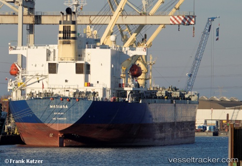
 OCEANA SKY
Current Status
Where is the vessel?
OCEANA SKY is currently in 26 nm N of Fahal, based on AIS data received about 12h ago.
Latest AIS update:
Current position: 24.08656° N, 58.67359° E (26 nm N of Fahal)
Average speed (last 7 days): Loading…
Average speed (last 30 days): Loading…
Vessel profile: OCEANA SKY is a General Cargo Ship with dimensions 195m x 195m.
This page combines live AIS, route history, probable destination signals, nearby traffic, and port activity for practical vessel monitoring.
The current position of vessel OCEANA SKY is 24.08656 lat / 58.67359 lng. Updated: 2026-04-10 06:43:40 UTCNearest reference points:
- 58 nm S of JASK
- 23 nm NE of Qalhat
- 17 nm SE of JASK
Currently sailing under the flag of Panama ![]()
OCEANA SKY built in 1998 year
Deadweight:
50655 tDetails:
Live Vessel OCEANA SKY Analytics (details, animations, etc.)
Recent AIS points (UTC):
2026-04-10 00:43:30 UTC · 24.99554, 57.78862 · SOG 12.4 kn · COG 135°2026-04-10 00:43:30 UTC · 24.99554, 57.78862 · SOG 12.4 kn · COG 135°
2026-04-10 05:59:32 UTC · 24.19480, 58.57619 · SOG 11.3 kn · COG 141°
2026-04-10 06:43:40 UTC · 24.08656, 58.67359 · SOG 11.3 kn · COG 139°