 vesseltracker.com
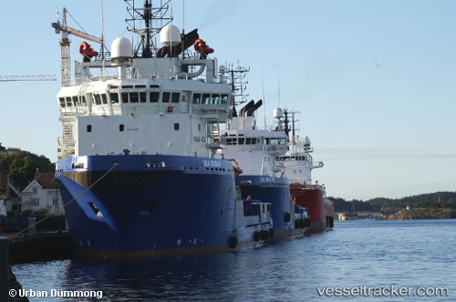
De Mei
Current StatusWhere is the vessel?
De Mei is currently in 20 nm N of Pei-Hai, based on AIS data received less than 1h ago.
Latest AIS update:
Current position: 20.79217° N, 108.90780° E (20 nm N of Pei-Hai)
Average speed (last 7 days): Loading…
Average speed (last 30 days): Loading…
Vessel profile: De Mei is a Offshore Tug Supply Ship with dimensions 16m x 75m.
This page combines live AIS, route history, probable destination signals, nearby traffic, and port activity for practical vessel monitoring.
The current position of vessel De Mei is 20.79217 lat / 108.90780 lng. Updated: 2026-03-29 03:33:56 UTCNearest reference points:
- 36 nm NW of Pei-Hai
- 19 nm S of Beihai Pt
- 19 nm SW of Beihai
Details:
Live Vessel De Mei Analytics (details, animations, etc.)
Recent AIS points (UTC):
2026-03-28 21:34:57 UTC · 20.80702, 108.91433 · SOG 0 kn · COG 28°2026-03-28 23:48:23 UTC · 20.80688, 108.91443 · SOG 0.4 kn · COG 79°
2026-03-29 00:32:14 UTC · 20.81402, 108.89956 · SOG 0.2 kn · COG 237°
2026-03-29 03:33:56 UTC · 20.79217, 108.90780 · SOG 4 kn · COG 127°