 vesseltracker.com
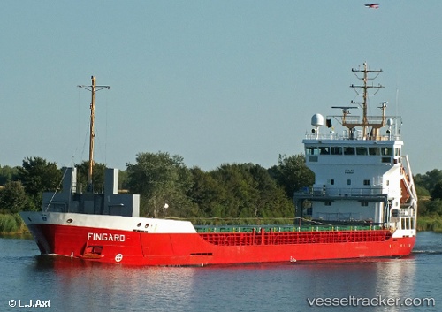
 MARAS
MARAS
Current Status
Where is the vessel?
MARAS is currently in Near Comporta, based on AIS data received about 1h ago.
Latest AIS update:
Current position: 38.46482° N, 8.83832° W (Near Comporta)
Average speed (last 7 days): Loading…
Average speed (last 30 days): Loading…
Vessel profile: MARAS is a General Cargo with dimensions m x m.
This page combines live AIS, route history, probable destination signals, nearby traffic, and port activity for practical vessel monitoring.
The current position of vessel MARAS is 38.46482 lat / -8.83832 lng. Updated: 2026-04-04 01:41:59 UTCNearest reference points:
- Near Palmela
- Near Sesimbra
- Near Lisboa
Currently sailing under the flag of Antigua and Barbuda ![]()
Details:
Live Vessel MARAS Analytics (details, animations, etc.)
Recent AIS points (UTC):
2026-04-03 20:36:07 UTC · 38.46550, -8.84065 · SOG 0 kn · COG 103°2026-04-03 21:33:11 UTC · 38.46537, -8.84061 · SOG 0 kn · COG 94°
2026-04-03 23:44:02 UTC · 38.46470, -8.83844 · SOG 0 kn · COG 295°
2026-04-04 01:41:59 UTC · 38.46482, -8.83832 · SOG 0 kn · COG 293°