 vesseltracker.com
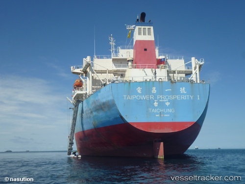
 MANALAGI ASTA
Current Status
Where is the vessel?
MANALAGI ASTA is currently in 45 nm NE of ANGGREK, based on AIS data received about 22h ago.
Latest AIS update:
Current position: 1.39833° N, 123.31928° E (45 nm NE of ANGGREK)
Average speed (last 7 days): Loading…
Average speed (last 30 days): Loading…
Vessel profile: MANALAGI ASTA is a Bulk Carrier with dimensions 236m x 38m.
This page combines live AIS, route history, probable destination signals, nearby traffic, and port activity for practical vessel monitoring.
The current position of vessel MANALAGI ASTA is 1.39833 lat / 123.31928 lng. Updated: 2026-04-01 14:06:26 UTCNearest reference points:
- Near BITUNG
- 41 nm SW of Margomulyo
Currently sailing under the flag of Indonesia ![]()
MANALAGI ASTA built in 2000 year
Deadweight:
88005 tDetails:
Live Vessel MANALAGI ASTA Analytics (details, animations, etc.)
Recent AIS points (UTC):
2026-04-01 14:06:26 UTC · 1.39833, 123.31928 · SOG 11.6 kn · COG 273°2026-04-01 14:06:26 UTC · 1.39833, 123.31928 · SOG 11.6 kn · COG 273°
2026-04-01 14:06:26 UTC · 1.39833, 123.31928 · SOG 11.6 kn · COG 273°
2026-04-01 14:06:26 UTC · 1.39833, 123.31928 · SOG 11.6 kn · COG 273°