 vesseltracker.com
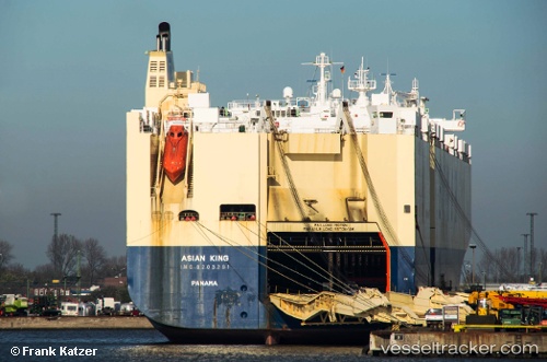
 LIBERTY KING
Current Status
Where is the vessel?
LIBERTY KING is currently in Near TAEAN-GUN, based on AIS data received about 1h ago.
Latest AIS update:
Current position: 37.06099° N, 126.18034° E (Near TAEAN-GUN)
Average speed (last 7 days): Loading…
Average speed (last 30 days): Loading…
Vessel profile: LIBERTY KING is a Vehicles Carrier with dimensions 32m x 200m.
This page combines live AIS, route history, probable destination signals, nearby traffic, and port activity for practical vessel monitoring.
The current position of vessel LIBERTY KING is 37.06099 lat / 126.18034 lng. Updated: 2026-03-26 11:29:04 UTCNearest reference points:
- Near DAESAN
- 10 nm N of DAESAN
- 14 nm SW of Incheon
Currently sailing under the flag of Marshall Islands ![]()
LIBERTY KING built in 1998 year
Deadweight:
21511 tDetails:
Live Vessel LIBERTY KING Analytics (details, animations, etc.)
Recent AIS points (UTC):
2026-03-26 05:15:34 UTC · 37.05997, 126.18020 · SOG 0.3 kn · COG -1°2026-03-26 07:53:45 UTC · 37.06081, 126.18074 · SOG 0.5 kn · COG -1°
2026-03-26 09:59:36 UTC · 37.06082, 126.18054 · SOG 0.2 kn · COG -1°
2026-03-26 11:29:04 UTC · 37.06099, 126.18034 · SOG 0.2 kn · COG 227°