 vesseltracker.com
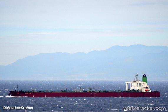
 TULJA KALYANI
Current Status
Where is the vessel?
TULJA KALYANI is currently in 11 nm N of Odudu Terminal, based on AIS data received about 2h ago.
Latest AIS update:
Current position: 4.17935° N, 7.70943° E (11 nm N of Odudu Terminal)
Average speed (last 7 days): Loading…
Average speed (last 30 days): Loading…
Vessel profile: TULJA KALYANI is a Crude Oil Tanker with dimensions m x m.
This page combines live AIS, route history, probable destination signals, nearby traffic, and port activity for practical vessel monitoring.
The current position of vessel TULJA KALYANI is 4.17935 lat / 7.70943 lng. Updated: 2026-03-30 15:29:23 UTCNearest reference points:
- Near Odudu Terminal
- Near Ima
- 12 nm SE of Okono
Currently sailing under the flag of Nigeria ![]()
Details:
Live Vessel TULJA KALYANI Analytics (details, animations, etc.)
Recent AIS points (UTC):
2026-03-30 10:01:04 UTC · 4.17993, 7.70970 · SOG 0 kn · COG 124°2026-03-30 12:17:23 UTC · 4.18013, 7.70979 · SOG 0.1 kn · COG 137°
2026-03-30 13:49:42 UTC · 4.17995, 7.70963 · SOG 0 kn · COG 129°
2026-03-30 15:29:23 UTC · 4.17935, 7.70943 · SOG 0.1 kn · COG 126°