 vesseltracker.com
 POWER
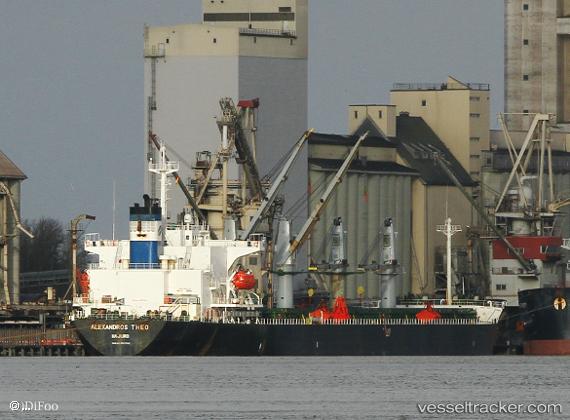
POWER
Current Status
Where is the vessel?
POWER is currently in 23 nm W of Xijiang, based on AIS data received less than 1h ago.
Latest AIS update:
Current position: 21.42785° N, 114.48171° E (23 nm W of Xijiang)
Average speed (last 7 days): Loading…
Average speed (last 30 days): Loading…
Vessel profile: POWER is a Bulk Carrier with dimensions m x m.
This page combines live AIS, route history, probable destination signals, nearby traffic, and port activity for practical vessel monitoring.
The current position of vessel POWER is 21.42785 lat / 114.48171 lng. Updated: 2026-04-19 16:19:10 UTCNearest reference points:
- 42 nm SE of Wanshan Pt
- 33 nm SE of Wanshan Pt
- 25 nm SE of Wan Tsai
Currently sailing under the flag of Panama ![]()
Details:
Live Vessel POWER Analytics (details, animations, etc.)
Recent AIS points (UTC):
2026-04-19 13:38:49 UTC · 21.29301, 113.92152 · SOG 12 kn · COG 83°2026-04-19 14:03:40 UTC · 21.30538, 114.00860 · SOG 12.1 kn · COG 74°
2026-04-19 16:02:50 UTC · 21.41301, 114.42265 · SOG 12.6 kn · COG 75°
2026-04-19 16:19:10 UTC · 21.42785, 114.48171 · SOG 12.5 kn · COG 75°