 vesseltracker.com
 OPTIMA
Current Status
Where is the vessel?
OPTIMA is currently in 104 nm N of Villanueva de Lorenzana, based on AIS data received about 2h ago.
Latest AIS update:
Current position: 45.15796° N, 9.85704° W (104 nm N of Villanueva de Lorenzana)
Average speed (last 7 days): Loading…
Average speed (last 30 days): Loading…
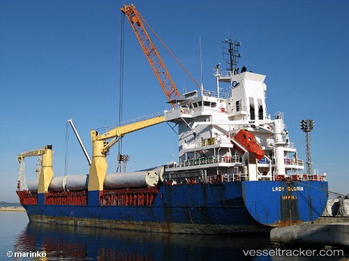
Vessel profile: OPTIMA is a General Cargo Ship with dimensions 108m x 18m.
This page combines live AIS, route history, probable destination signals, nearby traffic, and port activity for practical vessel monitoring.
The current position of vessel OPTIMA is 45.15796 lat / -9.85704 lng. Updated: 2026-03-29 08:26:22 UTCNearest reference points:
- 57 nm S of Boboras
- 30 nm NW of Meiras-Valdoviño
- 13 nm NE of Villanueva de Lorenzana
Currently sailing under the flag of Antigua and Barbuda ![]()
OPTIMA built in 2000 year
Deadweight:
8151 tDetails:
Live Vessel OPTIMA Analytics (details, animations, etc.)
Recent AIS points (UTC):
2026-03-29 03:19:02 UTC · 44.29228, -9.74798 · SOG 10.3 kn · COG 357°2026-03-29 03:46:39 UTC · 44.37064, -9.75839 · SOG 9.9 kn · COG 358°
2026-03-29 06:58:10 UTC · 44.90755, -9.81958 · SOG 10 kn · COG 357°
2026-03-29 08:26:22 UTC · 45.15796, -9.85704 · SOG 10.3 kn · COG 356°