 vesseltracker.com
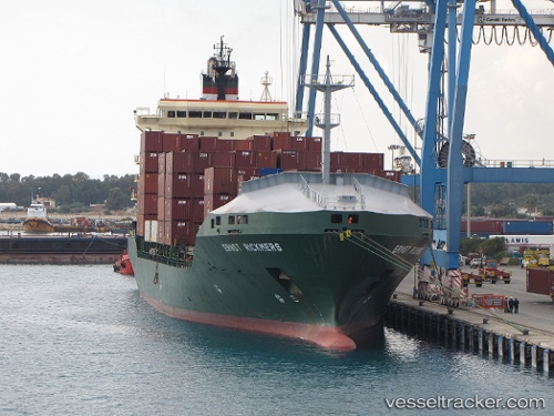
 MSC RUTH F
Current Status
Where is the vessel?
MSC RUTH F is currently in 13 nm W of Sumarcarcer, based on AIS data received less than 1h ago.
Latest AIS update:
Current position: 39.17524° N, 0.36617° E (13 nm W of Sumarcarcer)
Average speed (last 7 days): Loading…
Average speed (last 30 days): Loading…
Vessel profile: MSC RUTH F is a Container Ship with dimensions m x m.
This page combines live AIS, route history, probable destination signals, nearby traffic, and port activity for practical vessel monitoring.
The current position of vessel MSC RUTH F is 39.17524 lat / 0.36617 lng. Updated: 2026-03-30 15:28:11 UTCNearest reference points:
- 21 nm E of Llombai
- Near Ventas de Pedreguer
- Near DENIA
Currently sailing under the flag of Liberia ![]()
Details:
Live Vessel MSC RUTH F Analytics (details, animations, etc.)
Recent AIS points (UTC):
2026-03-30 09:59:46 UTC · 39.07590, 0.25079 · SOG 1.3 kn · COG 324°2026-03-30 12:15:39 UTC · 39.04680, 0.23627 · SOG 0.5 kn · COG 311°
2026-03-30 13:49:25 UTC · 39.02945, 0.22052 · SOG 1.1 kn · COG 326°
2026-03-30 15:28:11 UTC · 39.17524, 0.36617 · SOG 9.8 kn · COG 44°