 vesseltracker.com
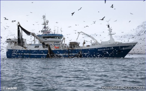
 VIKING 1
Current Status
Where is the vessel?
VIKING 1 is currently in 227 nm W of River Sao Nicolau, based on AIS data received less than 1h ago.
Latest AIS update:
Current position: 13.11886° S, 8.62805° E (227 nm W of River Sao Nicolau)
Average speed (last 7 days): Loading…
Average speed (last 30 days): Loading…
Vessel profile: VIKING 1 is a Trawler with dimensions m x m.
This page combines live AIS, route history, probable destination signals, nearby traffic, and port activity for practical vessel monitoring.
The current position of vessel VIKING 1 is -13.11886 lat / 8.62805 lng. Updated: 2026-03-31 09:59:34 UTCCurrently sailing under the flag of Oman ![]()
Details:
Live Vessel VIKING 1 Analytics (details, animations, etc.)
Recent AIS points (UTC):
2026-03-31 03:24:22 UTC · -14.26972, 8.37106 · SOG 10.7 kn · COG 15°2026-03-31 06:06:53 UTC · -13.80450, 8.49052 · SOG 10.4 kn · COG 16°
2026-03-31 07:25:51 UTC · -13.57400, 8.53576 · SOG 10.7 kn · COG 11°
2026-03-31 09:59:34 UTC · -13.11886, 8.62805 · SOG 10.9 kn · COG 15°