 vesseltracker.com
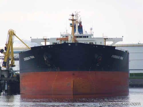
 ALBEDO
Current Status
Where is the vessel?
ALBEDO is currently in Near Santa Cruz de Mara, based on AIS data received about 3h ago.
Latest AIS update:
Current position: 10.88462° N, 71.61347° W (Near Santa Cruz de Mara)
Average speed (last 7 days): Loading…
Average speed (last 30 days): Loading…
Vessel profile: ALBEDO is a Crude Oil Tanker with dimensions m x m.
This page combines live AIS, route history, probable destination signals, nearby traffic, and port activity for practical vessel monitoring.
The current position of vessel ALBEDO is 10.88462 lat / -71.61347 lng. Updated: 2026-04-16 15:47:45 UTCNearest reference points:
- Near Bachaquero
- Near PUERTO BOLIVAR
- Near Las Piedras
Currently sailing under the flag of Barbados ![]()
Details:
Live Vessel ALBEDO Analytics (details, animations, etc.)
Recent AIS points (UTC):
2026-04-16 10:08:30 UTC · 11.43820, -71.21979 · SOG 9.8 kn · COG -1°2026-04-16 11:04:55 UTC · 11.36111, -71.35790 · SOG 9.8 kn · COG -1°
2026-04-16 14:09:14 UTC · 11.07925, -71.58413 · SOG 8.4 kn · COG -1°
2026-04-16 15:47:45 UTC · 10.88462, -71.61347 · SOG 7.1 kn · COG -1°