 vesseltracker.com
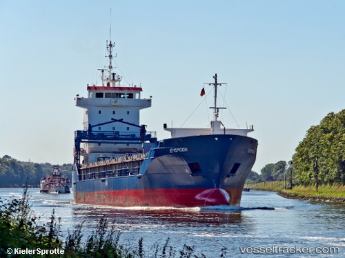
 STOLYA
Current Status
Where is the vessel?
STOLYA is currently in 28 nm N of Bonagia, based on AIS data received about 1h ago.
Latest AIS update:
Current position: 38.49567° N, 12.42290° E (28 nm N of Bonagia)
Average speed (last 7 days): Loading…
Average speed (last 30 days): Loading…
Vessel profile: STOLYA is a General Cargo with dimensions m x m.
This page combines live AIS, route history, probable destination signals, nearby traffic, and port activity for practical vessel monitoring.
The current position of vessel STOLYA is 38.49567 lat / 12.42290 lng. Updated: 2026-04-02 18:19:38 UTCNearest reference points:
- Near Trapani
- Near MARSALA
- Near Balestrate
Currently sailing under the flag of Barbados ![]()
Details:
Live Vessel STOLYA Analytics (details, animations, etc.)
Recent AIS points (UTC):
2026-04-02 11:59:50 UTC · 38.38751, 13.32314 · SOG 6.8 kn · COG 281°2026-04-02 13:57:08 UTC · 38.41706, 13.06228 · SOG 7.3 kn · COG 284°
2026-04-02 15:25:48 UTC · 38.43785, 12.84283 · SOG 6.9 kn · COG 288°
2026-04-02 18:19:38 UTC · 38.49567, 12.42290 · SOG 6.1 kn · COG 276°